
Grays Bay Road and Port Project
WKR is the proponent and developer of the Grays Bay Road and Port (GBRP) Project. GBRP is a multi-user, multi-purpose asset that will further assert Inuit and Canadian sovereignty over the Northwest Passage. It is a vital infrastructure corridor between southern Canada and the Kitikmeot. The project will be key to unlocking the critical minerals wealth of the Kitikmeot, and will be a driver of new opportunities for Kitikmeot Inuit.
Support from Leaders for the Grays Bay Road and Port

"The Arctic security corridor, or the Grays Bay Road and Port, is one of the Inuit-led initiatives supported by the Government of Nunavut. This nation-building initiative will bolster the terrestrial connection to the Arctic Ocean opening opportunities for mining of critical minerals needed for both Canada’s economic and military needs. It will also be the only deepwater port in the western archipelago on or near the Northwest Passage, which will become more significant in coming years as the Arctic Ocean sees a longer ice-free season and associated increased shipping traffic."
Support from Organizations for Grays Bay Road and Port


Morgan James, NY


Project Funding
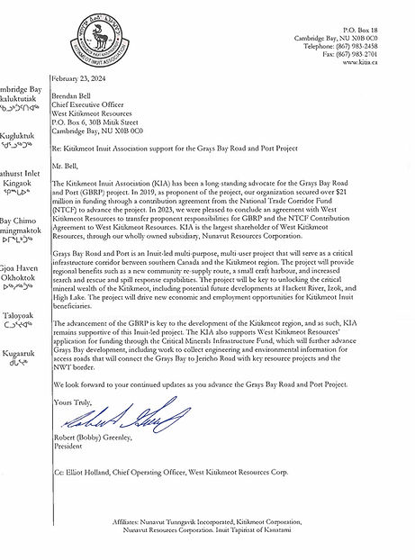
National Trade Corridors Fund Support
The Kitikmeot Inuit Association (KIA) has been the proponent developing the GBRP project since 2018.
In 2019, Canada entered into a $21.6 million Contribution Agreement with KIA from the National Trade Corridors Fund (NTCF) to advance GBPR Phase 1 to shovel-ready status.
In 2023, Canada, KIA, and WKR completed a Novation and Assignment Agreement, which transfers the proponent responsibilities for GBRP, and the NTCF Contribution Agreement, to WKR.
Additional Project Support
In 2024, the Canada Infrastructure Bank provided a $3 million loan to support GBRP development, matching private funding. The Government of Nunavut has also supported the project through CESP and SIP grants.
Project Benefits
A multi-user, multi-purpose asset that will further assert Inuit and Canadian sovereignty over the Northwest Passage
Grays Bay is well placed to serve as a hub for Canadian and allied naval sovereignty patrols in the Western Arctic, as well as Coast Guard patrols and Search and Rescue missions. The port’s location, directly on the increasingly contested Northwest Passage, will be of significant strategic value. Port facilities and the associated airstrip will be designed with security users in mind. The port can become the most capable deepwater facility between Alaska and Greenland.
A vital infrastructure corridor between southern Canada and the Kitikmeot
The project includes a 230 km road which will connect to Contwoyto Lake, the northern terminus of the Tibbitt to Contwoyto Winter Road, providing winter road access from southern Canada to the Kitikmeot.
In the future, a road from Jericho to the NWT border can connect to the public highway system via a new road proposed in the Northwest Territories, which will provide all-season road access from southern Canada to the Kitikmeot. This access will dramatically lower the cost of doing business in the region, connecting Northern products to markets around the world, and enabling supplies to reach the area at a lower cost, for a longer season, and with greater reliability.
The key to unlocking the critical minerals wealth of the Kitikmeot
The project will accelerate economic growth in the region, by dramatically improving access to critical mineral deposits, such as Izok Lake, Hackett River, and High Lake. The viability of these critical minerals deposits will be enhanced by co-occurring gold and silver by-products, as well as shared infrastructure with precious metals deposits such as Back River and Ulu. Even before the road is constructed inland, the Gray’s Bay wharf, camp, fuel farm, and airstrip will be of critical importance to WKR’s Arcadia Bay development, only ~20 km west of the port site.
A driver of new opportunities for Kitikmeot Beneficiaries
The development of GBRP will provide new opportunities for Kitikmeot Beneficiaries in many ways, including:
-
Direct employment opportunities associated with the mines, roads, and port
-
Indirect employment opportunities associated with growing service industries in Kitikmeot communities (air transport, marine transport, environmental/regulatory, medical, etc.)
-
Travel and traditional harvesting opportunities associated with a new small craft harbour, fuel depot, and camp at Gray’s Bay, strategically located halfway between Kugluktuk and Cambridge Bay
-
Travel and traditional harvesting opportunities associated with improved inland access, including potential for travel via ice road network to communities in winter
-
Opportunities to address food security and cost of living issues in communities by both increasing income and reducing transportation costs
Project Route
